Research Method: Participatory Mapping
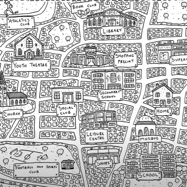
In this method, a map is understood as ‘a space to work in’ that can reveal new possibilities and potential, rather than as a tool for representing data about a place. It involves the researcher working collaboratively with groups of participants to think about a neighbourhood, community or institution, and to locate the things that are meaningful to them within that place.
Maps are created by participants, who may draw their own map of a place or add to an existing map with place markers, text, or drawings, in response to questions from the researcher. A map contains movement, processes, and relationships, it can illuminate the connections between people and place, and it can be seen as a space for interaction. Mapping approaches can help participants and researchers to see and use data differently, and to access types of data that may otherwise remain hidden, including perceptions, emotions and experiences. Through this method, participants are able to show the researcher and one another where they ‘see’ themselves and others on the map, to link different activities and feelings to places, to say where they go and with whom, and where they don’t go and why. Participatory Mapping can therefore tell researchers something about the nature of a place, and can be particularly useful for understanding how various groups in an area or community may use, experience and value places in different ways.


